var austin = turf.point([-97.743061, 30.267153]); //GeoJSON pointvar buffered = turf.buffer(austin, 15, 'miles');
result = turf.featurecollection([austin, buffered])
var austin = turf.point([-97.743061, 30.267153]); //GeoJSON pointvar atxBuffer = turf.buffer(austin, 15, 'miles');
var roundrock = turf.point([-97.678896, 30.508255]);
var rrBuffer = turf.buffer(roundrock, 15, 'miles');
result = turf.union(atxBuffer.features[0], rrBuffer.features[0]);
var austin = turf.point([-97.743061, 30.267153]); //GeoJSON pointvar atxBuffer = turf.buffer(austin, 15, 'miles');
var roundrock = turf.point([-97.678896, 30.508255]);
var rrBuffer = turf.buffer(roundrock, 15, 'miles');
result = turf.intersect(atxBuffer.features[0], rrBuffer.features[0]);
//tnris geojson made with rasterio
display = tnris.type;
result = tnris;
result = turf.explode(tnris);
display = 'Num Points: ' + result.features.length;
var merged = turf.merge(tnris);
var polys = merged.geometry.coordinates.map(function (c) {
returnturf.simplify(turf.polygon(c), 0.1);
});
result = turf.featurecollection(polys);
//use simplified result from previous example
result = turf.explode(result);
display = 'Num Points: ' + result.features.length;
//use exploded result from previous example
result = turf.tin(result);
var bbox = turf.extent(tnris);
var grid = turf.squareGrid(bbox, 50, 'miles');
var points = turf.explode(tnris);
var counted = turf.count(grid, points, 'pointCount');
result = counted;
var bbox = turf.extent(tnris);
var grid = turf.triangleGrid(bbox, 50, 'miles');
var points = turf.explode(tnris);
var counted = turf.count(grid, points, 'pointCount');
result = counted;
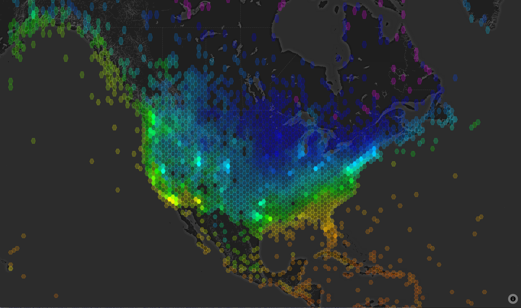
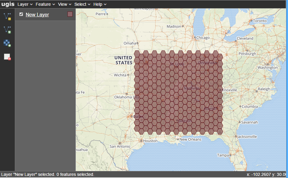
var bbox = turf.extent(tnris);
var grid = turf.hexGrid(bbox, 50, 'miles');
var points = turf.explode(tnris);
var counted = turf.count(grid, points, 'pointCount');
result = counted;
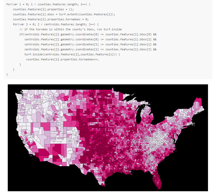
Documentation!
Documentation has been at the forefront of development by the core team